The biggest cities in the US are sinking, a study found. The phenomenon could tilt buildings and damage infrastructure.

A map of New York City shows where it’s sinking and how much, including a hotspot around LaGuardia Airport.
The ground is slowly sinking or deforming beneath all the biggest cities in the US, according to new satellite analysis.
If cities don’t do something about this land-sinking phenomenon, called subsidence, it could damage buildings and infrastructure. It’s already driving flooding in many places.
“We did not expect to see such widespread land subsidence,” Manoochehr Shirzaei, a geophysicist at Virginia Tech, told B-17.
Shirzaei co-authored a study, published Thursday in the journal Nature Cities, using satellites to measure the millimeter-by-millimeter vertical movement of US cities.
He said there was a clear pattern in the data: Urban centers are sinking faster than other areas, and have a greater risk of building damage.
He found that subsidence is distorting 28 cities — all the places they checked — including Seattle, San Diego, Denver, Dallas, Chicago, and New York City.
About 34 million people live in the affected areas.

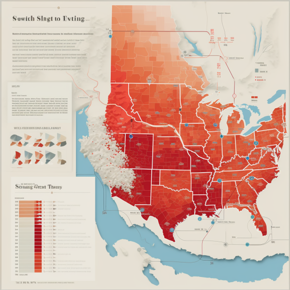
The cities depicted in yellow, orange, or red are sinking overall, according to the new study. In the three green cities, less than one-third of the land is sinking.
Uneven sinking can damage cities
Sinking can directly boost flooding, since coastal cities get lower while sea levels rise around them. Even inland, it can create new troughs in the land that pool stormwater.
Take Houston, which was the fastest-sinking city in the new study, with 40% of its land area sinking five millimeters each year and some areas sinking two inches per year. Shirzaei’s previous research found that subsidence had left standing water in some unexpected parts of the city after Hurricane Harvey.

Rising floodwaters swamped neighborhoods in Houston during Hurricane Harvey in 2017.
The risks are especially high, though, in places where sinking is happening unevenly within a small area.
When part of the ground sinks slower, or even rises while the spot just next to it sinks, that puts a lot of strain on whatever is built there.
At New Orleans’ Louis Armstrong International Airport, the differential sinking has already cracked pavement and left huge puddles on the plane taxiway.
In the worst-case scenario, uneven subsidence could tilt buildings, crack foundations, and hobble bridges.
Sinking alone “would not probably cause a significant risk, but when it compounds with other hazards — flood and storms and winds or poor maintenance or poor construction code — then that can be deadly and result in building failure,” Shirzaei said.
Hotspots of risk to 29,000 buildings
About 29,000 buildings are at risk, the study found, even though uneven subsidence only affects about 1% of the land area in the studied cities.


